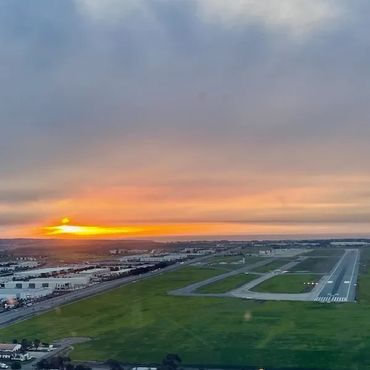
Providing Aerial Imagery in Southern California Since 2019
- Piloted Aircraft - All Airspace Accessible
- Rapid Activation + Quick Turnaround
- Starting at $1000 for up to 20 Acres
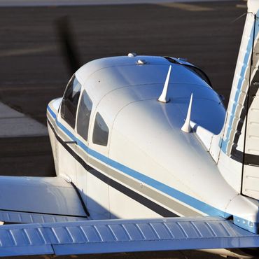
Providing Aerial Imagery in Southern California Since 2019
- Piloted Aircraft - All Airspace Accessible
- Rapid Activation + Quick Turnaround
- Starting at $1000 for up to 20 Acres